🔎 Measuring Earthquake Damage Through Satellite Imagery
Earthquakes can cause devastating damage to cultural heritage sites, from historic temples to ancient pagodas and archaeological ruins. While damage to urban areas is often visible immediately, assessing remote or hard-to-reach heritage sites can take weeks—or even months. Satellite imagery technology now allows us to see the invisible and monitor earthquake impacts from space.
How Satellite Technology Helps Heritage Protection
Satellite imagery can be applied to cultural heritage buildings in Myanmar’s remote areas, including temples, monasteries, and archaeological sites that may have suffered earthquake damage. By comparing images taken before and after the earthquake, experts can:
- Detectstructural changes and potential collapse.
- Identify damage to roofs, walls, and surrounding features.
- Map affected areas for rapid response and restoration planning.
Advanced technologies such as AI and radar imaging improve the accuracy of these assessments, allowing specialists to analyze subtle changes that are difficult to detect on the ground.
Accuracy and Effectiveness
Using satellite imagery for earthquake damage assessment is remarkably effective:
- Accuracy rates:75%–90%
- Margin of error:10%–25%
This approach enables rapid, cost-effective monitoring of remote heritage sites, which is crucial for planning emergency interventions and documenting losses.
Supporting Policy and Recovery
Satellite-based assessments do more than locate damage—they inform decision-making and policy formulation. By providing timely data on affected sites, this technology:
- Helps authorities prioritize restoration efforts.
- Guides allocation of resources and funding.
- Supports documentation of heritage at risk, creating records that can be used in future conservation projects.
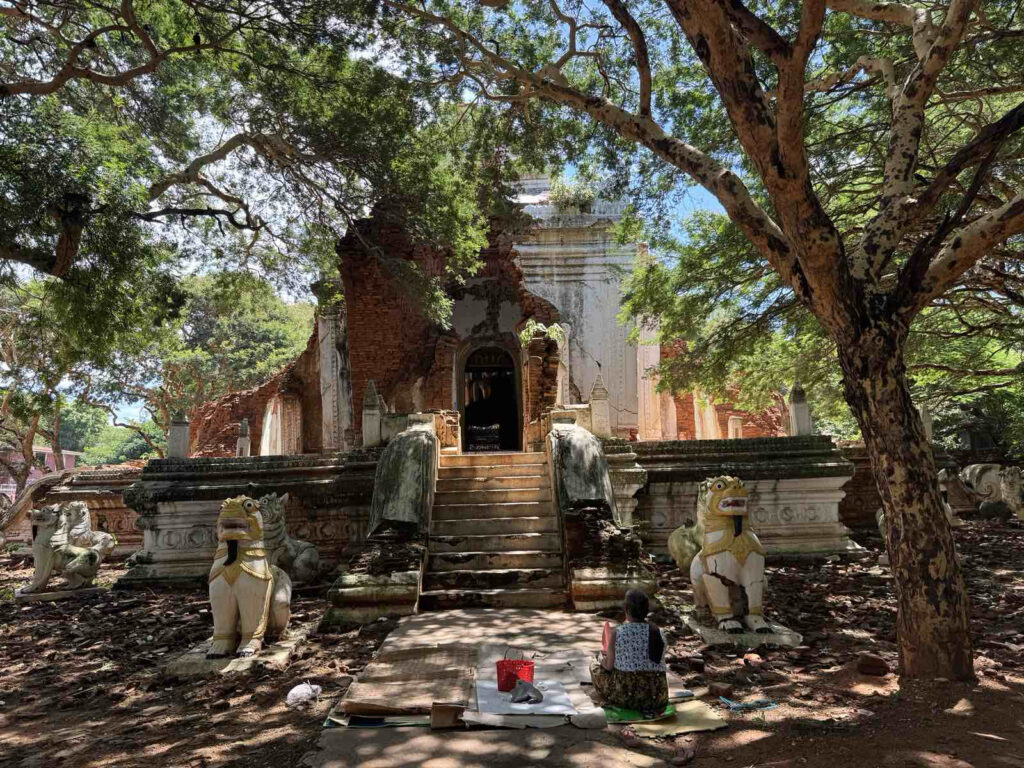
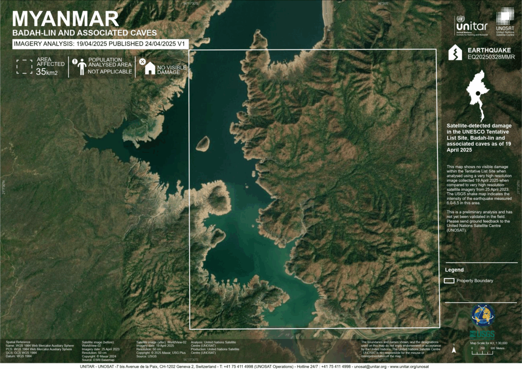
Preliminary Findings
The images below are preliminary assessments by UNOSAT, showing the impact of the earthquake on cultural heritage sites across Myanmar. These early results provide a valuable starting point for more detailed surveys on the ground and help experts plan urgent preservation actions.
Heritage for Myanmar
- Heritage for Myanmar#molongui-disabled-link
- Heritage for Myanmar#molongui-disabled-link
- Heritage for Myanmar#molongui-disabled-link
- Heritage for Myanmar#molongui-disabled-link